

Vursiv combines detailed planning of commercial drone operations and technical expertise to generate high quality data products.
The key to success for any of our projects is to first understand your needs and goals. We work with you to capture your requirements and develop a cost effective plan to give you the best results.
Commercial drone operations require thorough planning to prevent safety and compliance issues. Our chief pilot lays out detailed operational procedures for field teams to ensure safe, compliant and efficient missions.
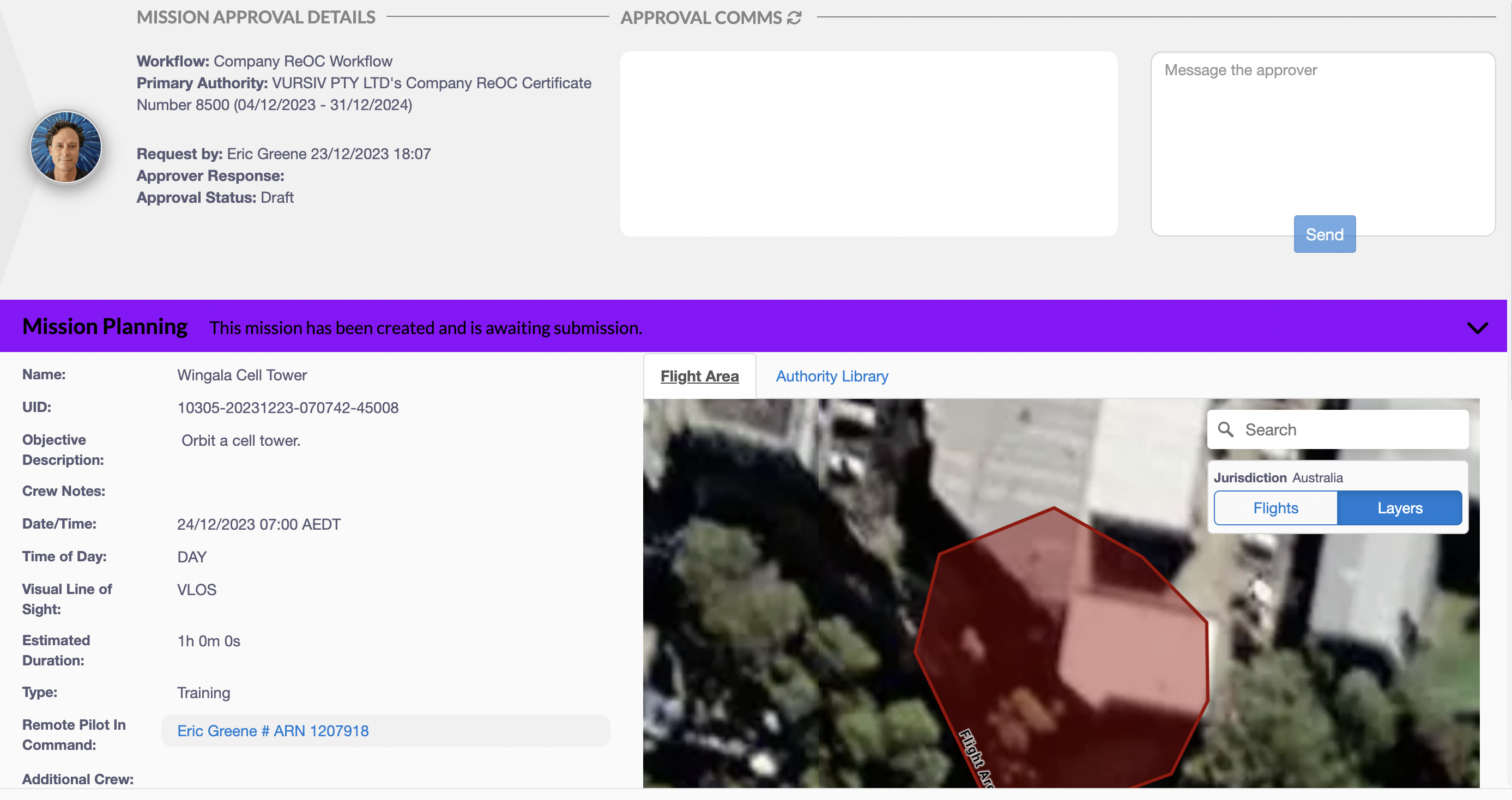
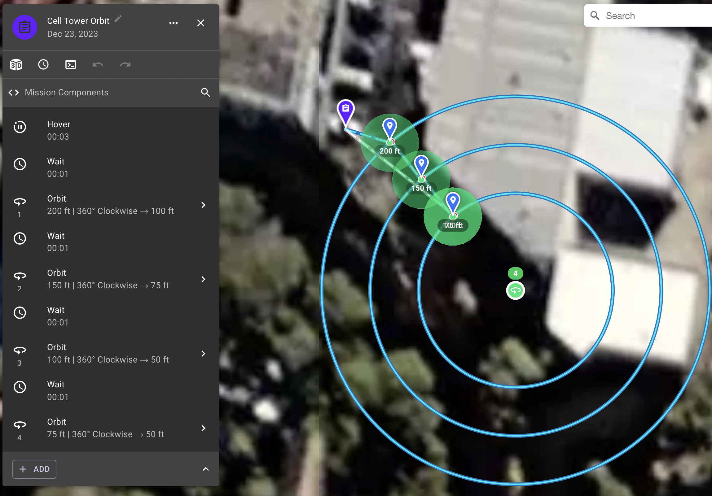
Accurate data capture requires a deep understanding of the photographic conditions during the mission, the capabilities of the drone and the capture pattern needed. We are experienced in building automation scripts that allow our drones to capture the high quality digital images necessary.
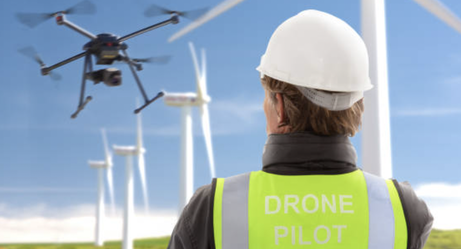
During the mission, all drones are operated by fully licensed pilots that are experienced in a wide variety of conditions. Remote pilots can quickly and safely execute missions, minimizing any disruptions to other activities.
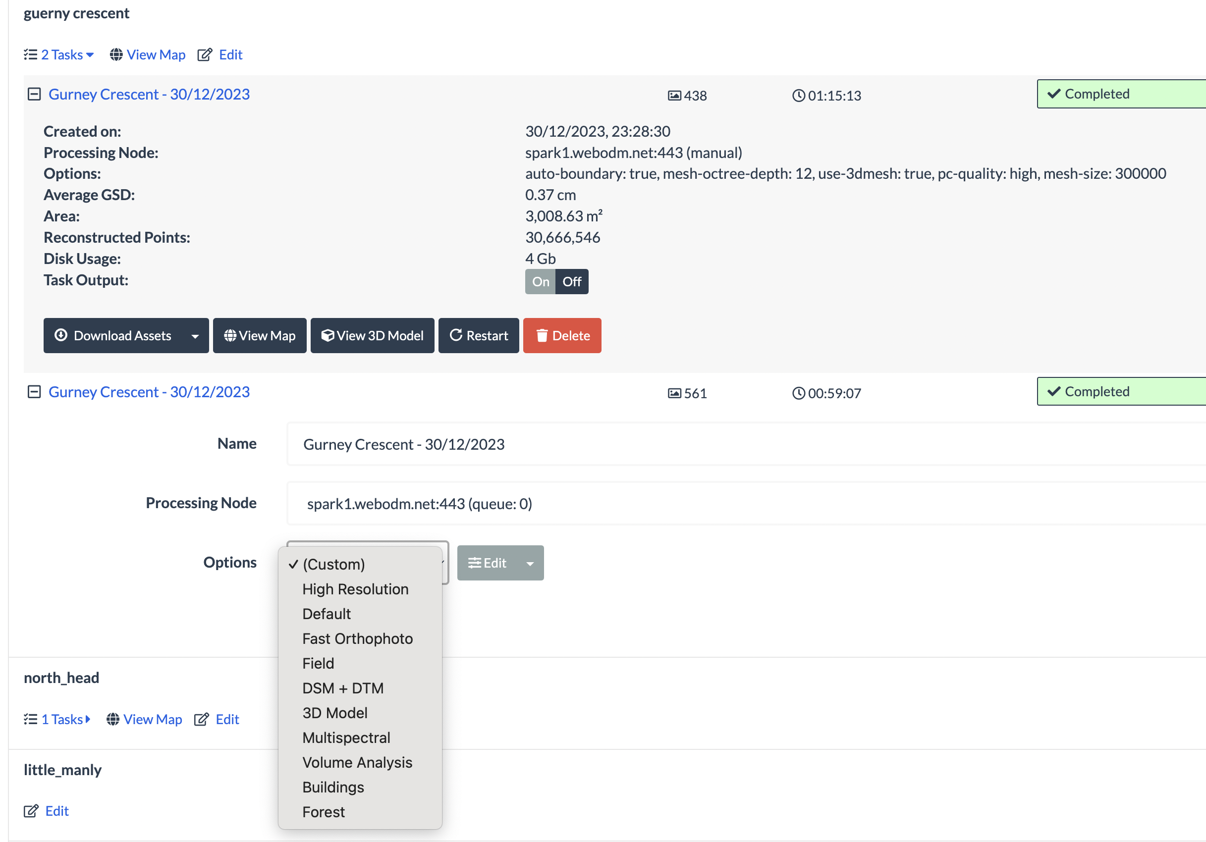
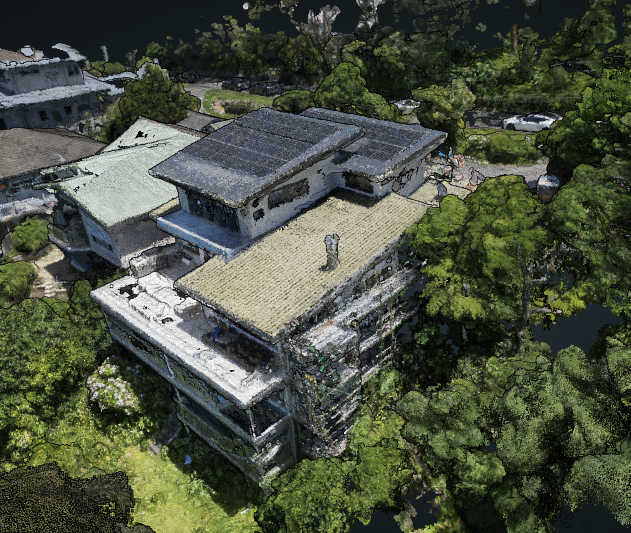
Using the latest image processing techniques, the captured images are processed to create detailed 3D and Orthographic models. The models and captured images are available to your team within 24 hours.
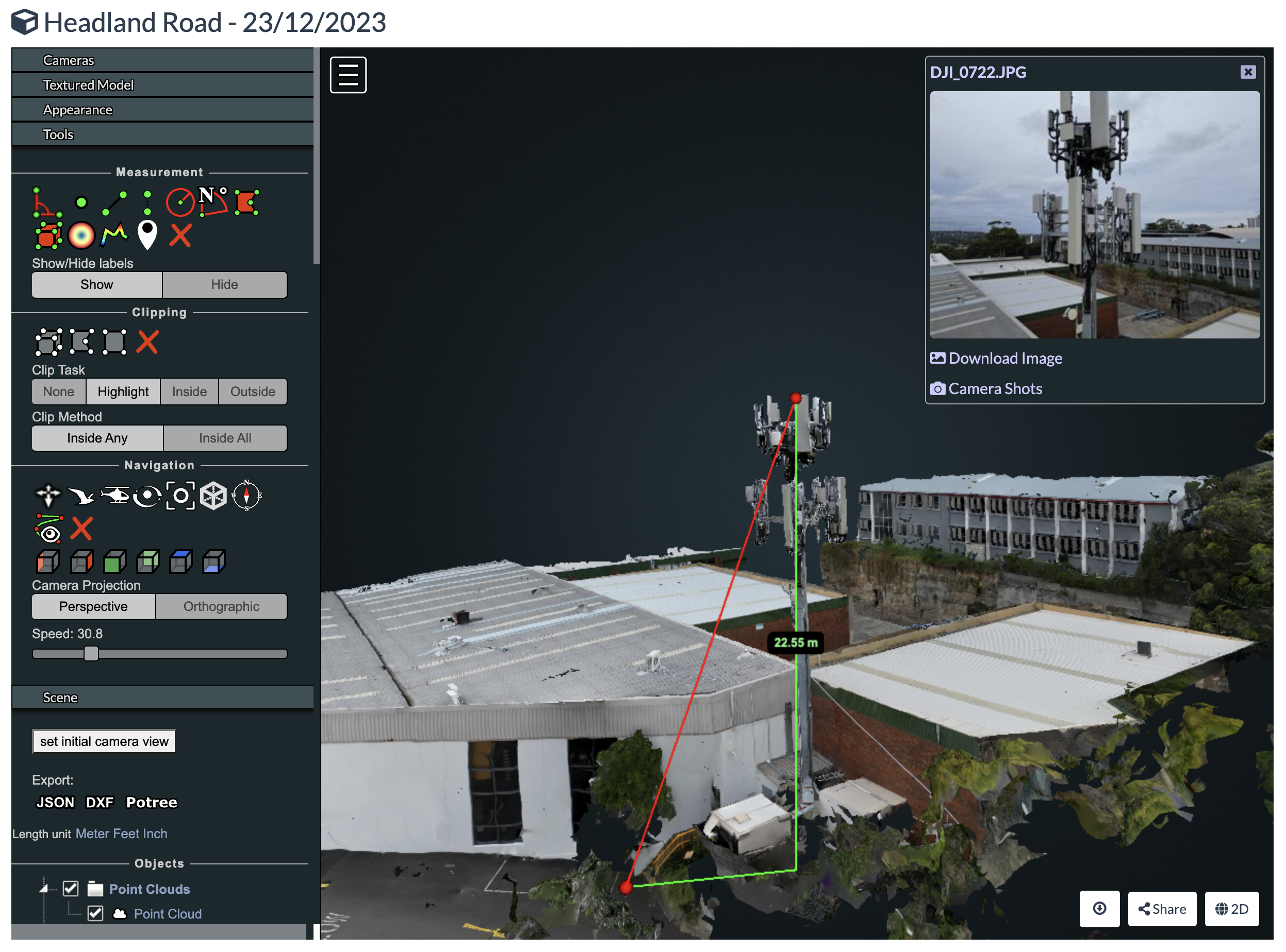
Once the digital assets are generated, we provide private online access to your team. We can also provide analysis on volume and distance estimates as well as training on how to navigate the 3D models and perform your own measurements.
Since all capture operations are automated, repeating captures to track changes over time can happen as frequently as needed. Each capture will create a new model using images taken from the exact same location as previous missions, making it easy to compare images over time.